About the Program
OU Libraries' Digital Scholarship team has partnered with the History Department since Spring 2018 to offer internships, where undergraduate students work with the DS specialist to learn digital humanities methods and create individual research projects such as the ones listed below. If you are interested in applying or learning more about this program, please visit the History Department 's website.
You can also learn more about the tools used to create these projects on the Digital Scholarship tutorials page.
Digital Scholarship Internship Projects
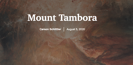
Carson Schlittler, who is an economics and history major, completed the internship in Summer 2020. Her project, The Year Without a Summer, examined the global impact of Mount Tambora's eruption in 1815. Drawing from individuals' first-hand accounts, historical and scientific records, Carson tells a compelling story about the year without a summer.
Tools Used: ArcGIS Online, Google Sheets
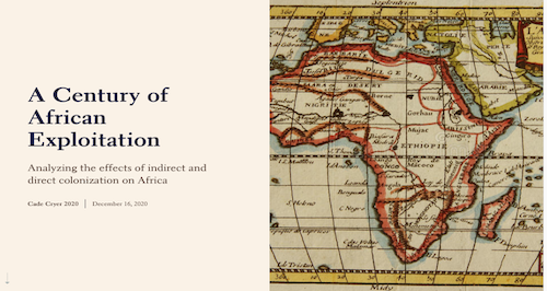
For his digital scholarship, A Century of African Exploitation, Cade Cryer examined specific ways that Africa was colonized from the 19th to 20th centuries. Because it is a multi-layered and complex subject, Cade focused on several African countries that exemplify the different methods of European colonization.
Tools Used: ArcGIS StoryMaps
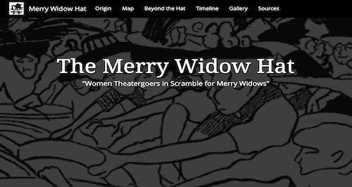
Katie Sahlstrom's digital scholarship project The Merry Widow Hat completed in Spring 2020 explores the deeper implications of how a particular hat style wildly popular in 1908 that was originally inspired by the Operetta the Merry Widow. Katie's primary sources comprise historical newspapers, postcards, photographs, posters, and film.
Tools Used: Google Sheets, Timeline.js, ArcGIS StoryMaps
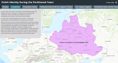
In Summer 2019, Jonah Roberson examined how Polish national identity evolved beginning in the 16th century, when the Polish-Lithuanian Commonwealth was the largest country in Europe, to the twentieth century.
Tools Used: ArcGIS Online, Esri StoryMaps, Tableau Public
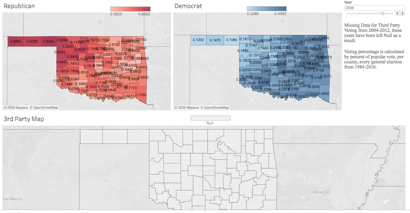
For his digital scholarship internship in Spring 2019, Connor Neale conducted a visual analysis of Oklahoma's voting record dating from 1984 to 2016 that reveals voting shifts over time across the state. Connor gathered the data from Oklahoma's county election boards.
Tools Used: Google Sheets, Tableau Public
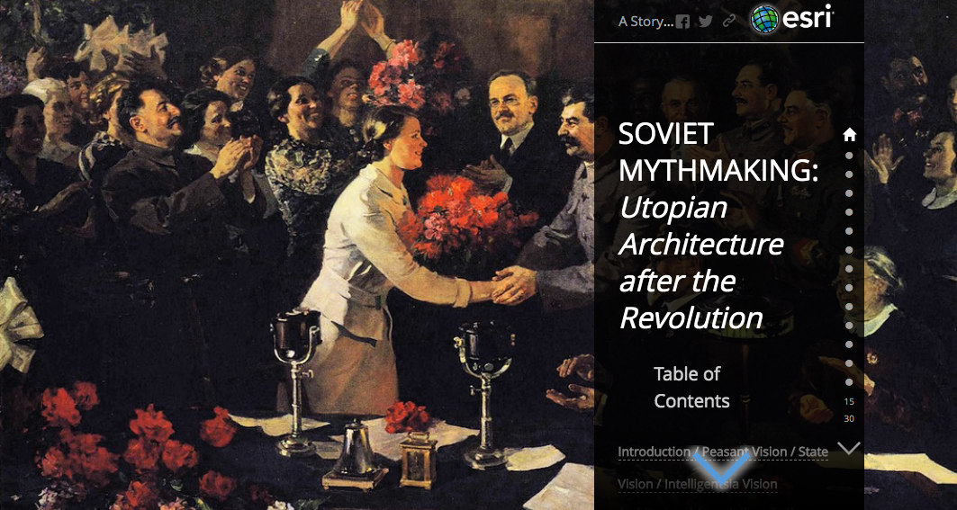
In Spring 2019, Tressa Patten created the exhibit Soviet Mythmaking: Utopian Architecture after the Revolution that focuses on utopian architecture of the 1920's specifically in Moscow. Patten describes her project as "a glimpse at the passionate, almost frantic, expression of utopian dreaming through the architecture of the twenties and the sharp nationalistic turn it took after Lenin's death into the thirties."
Tools Used: ArcGIS Online, ArcGIS StoryMaps (Journal)
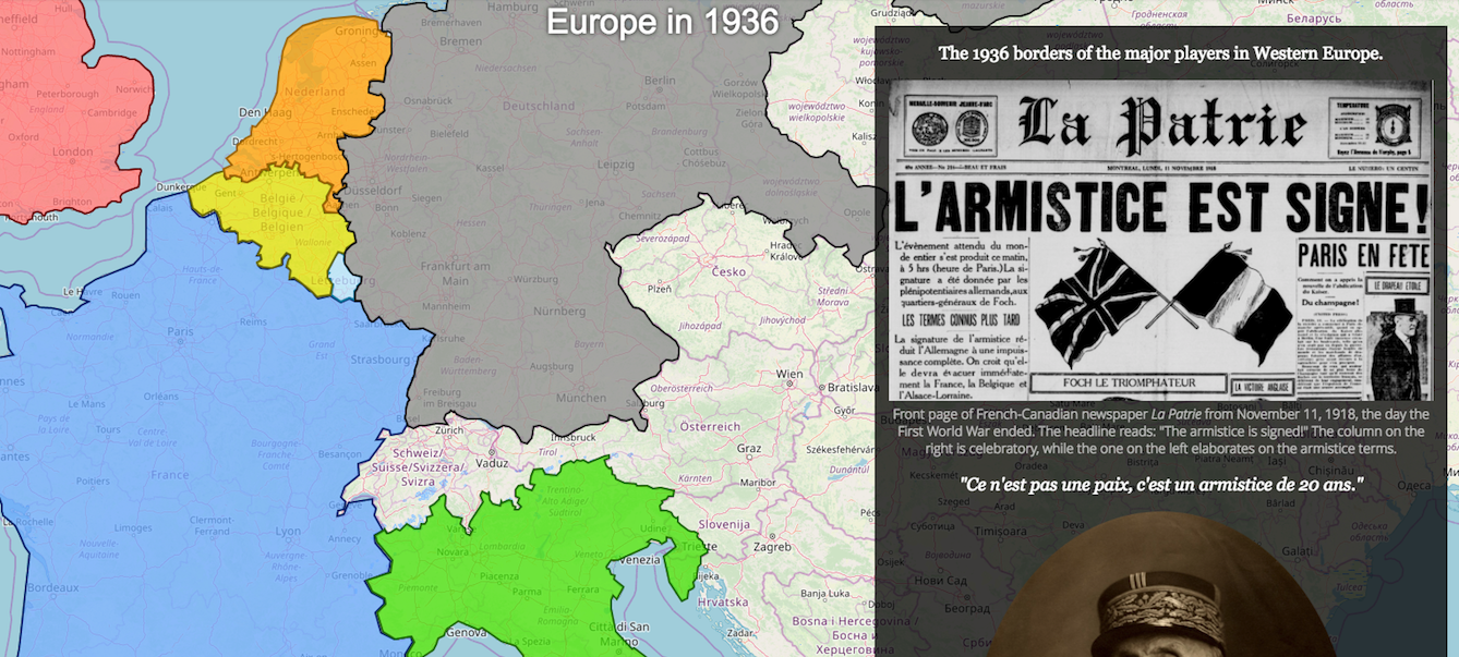
In Fall 2018, Josh Fuss created a project entitled France in World War II. His work uses maps, primary sources, and secondary literature to examine France's occupation by the Nazi's during World War II.
Tools Used: ArcGIS Online, ArcGIS StoryMaps (Cascade)
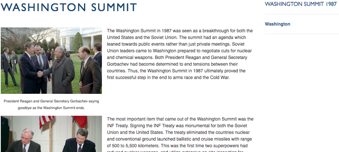
Natalie Jones created President Reagan and the Cold War in Summer 2018. She used timelines, primary sources, and secondary literature to examine President Reagan's actions during the Cold War. In particular, she highlights the summits between President Reagan and General Secretary Gorbachev.
Tools Used: Omeka, TimelineJS
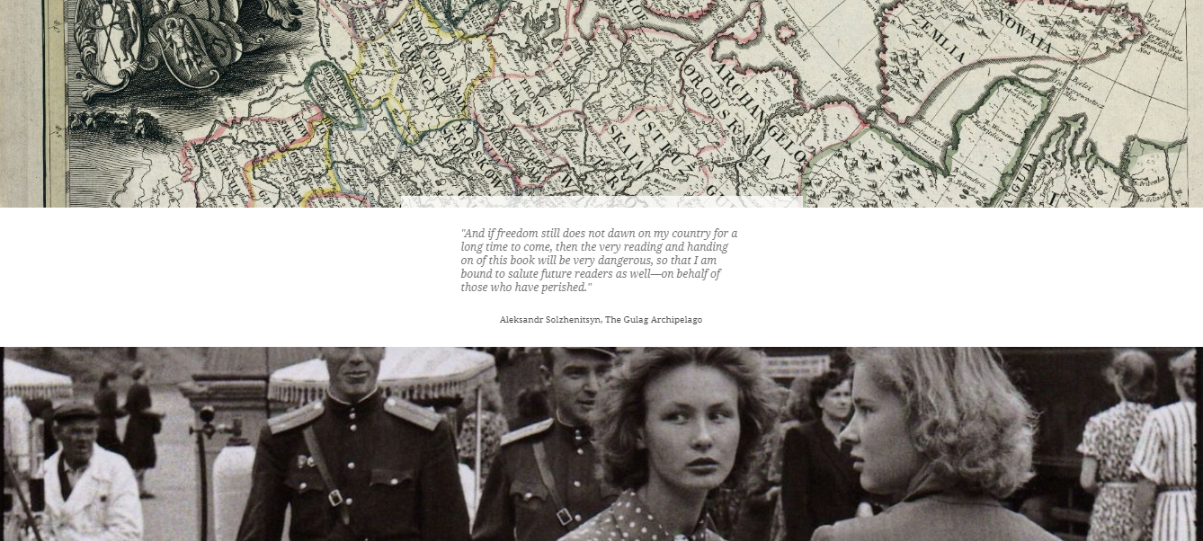
In Summer 2018, Chelsea Smith-Antonides created her project, Soviet Deportation: The Forced Deportations and Ethnic Cleansing Under Stalin. Chelsea used primary sources, secondary literature, maps, and data visualizations to illuminate the impact of Stalin's forced deportations of various ethic groups.
Tools Used: ArcGIS Online, ArcGIS StoryMaps (Cascade), Tableau
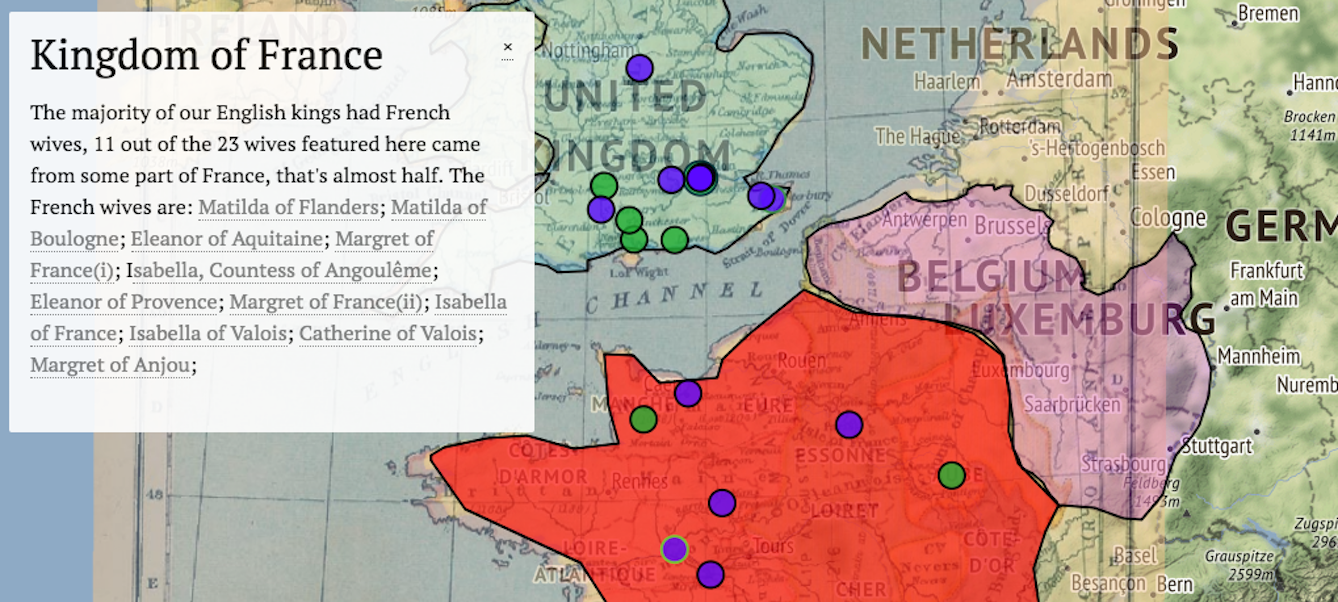
Wendy Jordan created The Wives of Medieval English Kings in Spring 2018. This project looks at the women who married the English kings from William the Conqueror to Henry VII. Her project includes biography pages, a timelines, maps, and an interactive family tree. She also included information on what OU classes related to the material covered in her website.
Tools Used: Omeka, Neatline, TimelineJS, and FamilyEcho.